Finally! On April 4, 2016, after 168 consecutive days of travel on inland waterways, primarily the ICW, we went out, as in “out into the ocean.” We made our first offshore passage together, on Belle Bateau! For me, this was a big deal. As I write this, a few days later with some perspective, I’m struck by the thought that for many cruisers, going offshore is not a big deal. They’ve done this countless times, and it’s become a non-event. Or at least they hope each offshore excursion will be a non-event, without severe weather surprises, mechanical issues, persons overboard, or any number of events that might create their own version of “A Perfect Storm.”
Making the decision to venture offshore begins with accurate weather forecasting. Hmmm. You might now be thinking about how many times “the weather guys” in your own hometown incorrectly forecasted a sunny day and you unfortunately left your umbrella at home. So imagine the checking and rechecking of weather forecasts that occur when living on a sailboat. Every cruiser has their list of favorite weather sources, edited over time based on reliability. Many sailors rely on Chris Parker, from Marine Weather Center, who offers a range of delivery options for his regional forecasts (see https://www.mwxc.com). We subscribe to Parker’s daily emails, and then check his forecasts against PassageWeather, Weather.com, WindAlert, NOAA, and others. We also, and especially, consult with other cruisers.
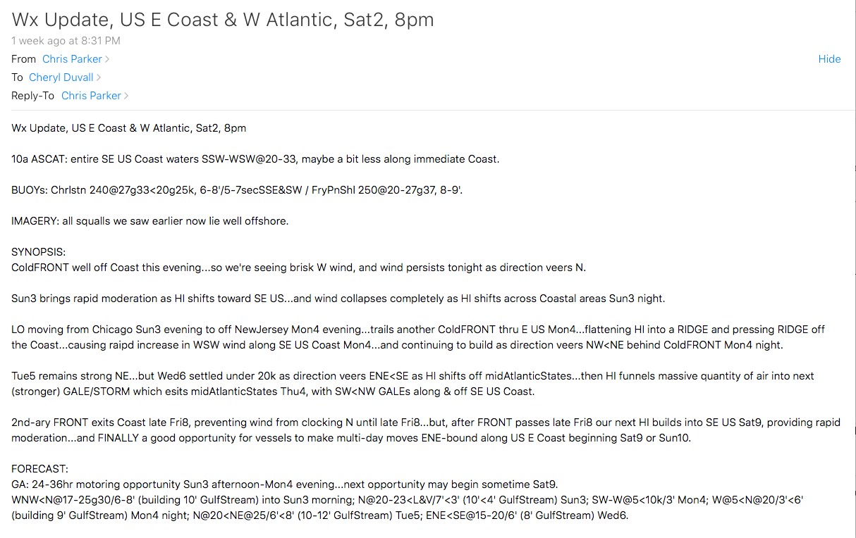
The weather forecast from Chris Parker’s email for Day 169, along the eastern coast of Georgia, looked like this: “24-36hr motoring opportunity Sun3 afternoon-Mon4 evening…next opportunity may begin sometime Sat9. WNW<N@17-25g30/6-8′ (building 10′ GulfStream) into Sun3 morning; N@20-23<L&V/7′<3′ (10′<4′ GulfStream) Sun3; SW-W@5<10k/3′ Mon4; W@5<N@20/3′<6′ (building 9′ GulfStream) Mon4 night; N@20<NE@25/6′<8′ (10-12′ GulfStream) Tue5.” Yeah, it took me awhile to decipher his messages too.

We checked Parker’s forecast against our other favorite sources and bingo! Conditions seemed to be ideal for our first offshore passage. Other cruisers agreed, including nearby vessels Kindred Spirit and Dreamtime. All of us planned to head out of nearby St. Mary’s Inlet early Monday morning, and then back inland via different inlets, according to our desired destinations. Since Kindred Spirit had a very long passage planned, they left at 0500, while Dreamtime and Belle Bateau planned to depart St. Mary’s inlet just after sunrise, in the 0730-0800 timeframe, with intentions of returning inland via St. Simon’s and Sapelo inlets respectively.
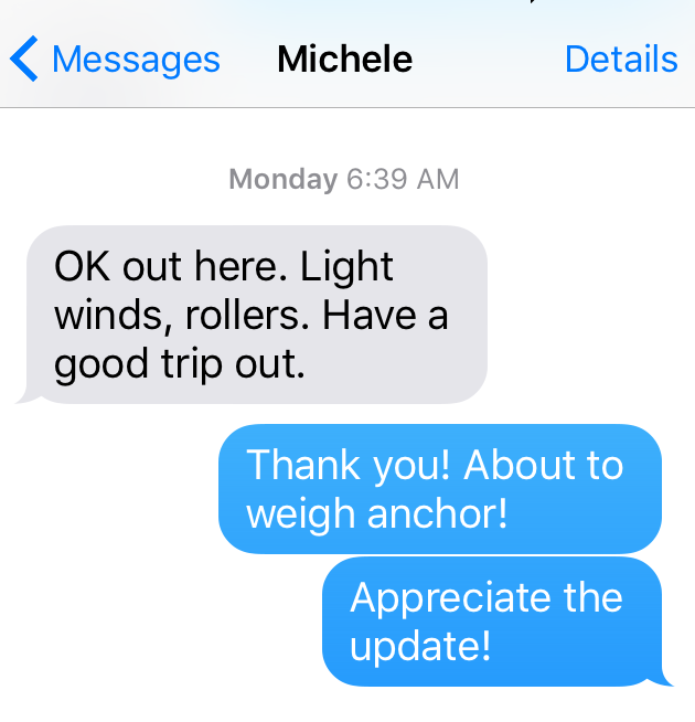
We weighed anchor as planned at 0700, after receiving a thoughtful text from Kindred Spirit informing us that offshore conditions were good.
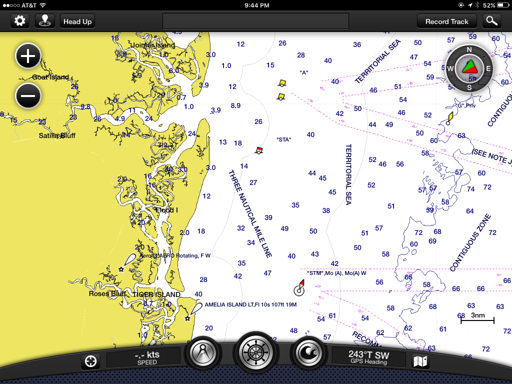
As we retraced the previous day’s path to St. Mary’s Sound, we saw Dreamtime’s AIS (aka vessel tracking, http://www.marinetraffic.com) on our chartplotter as both our Gozzards were heading towards the inlet.
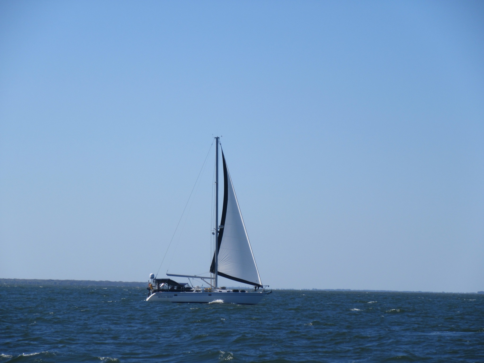
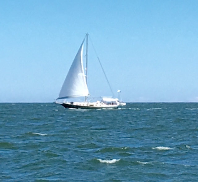
As Belle Bateau turned eastward toward the ocean, the rising sun was low in the horizon, causing a blinding glare for me at the helm. I used the mast as a block against the sun as I shifted standing positions at the wheel in order to see. There were three boats ahead of us, with Royal Serf in the lead.
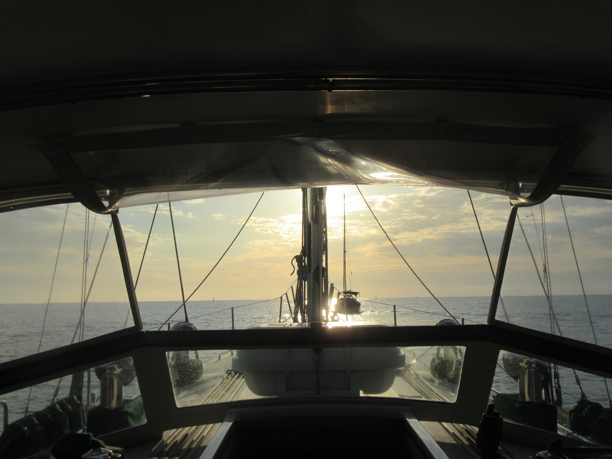
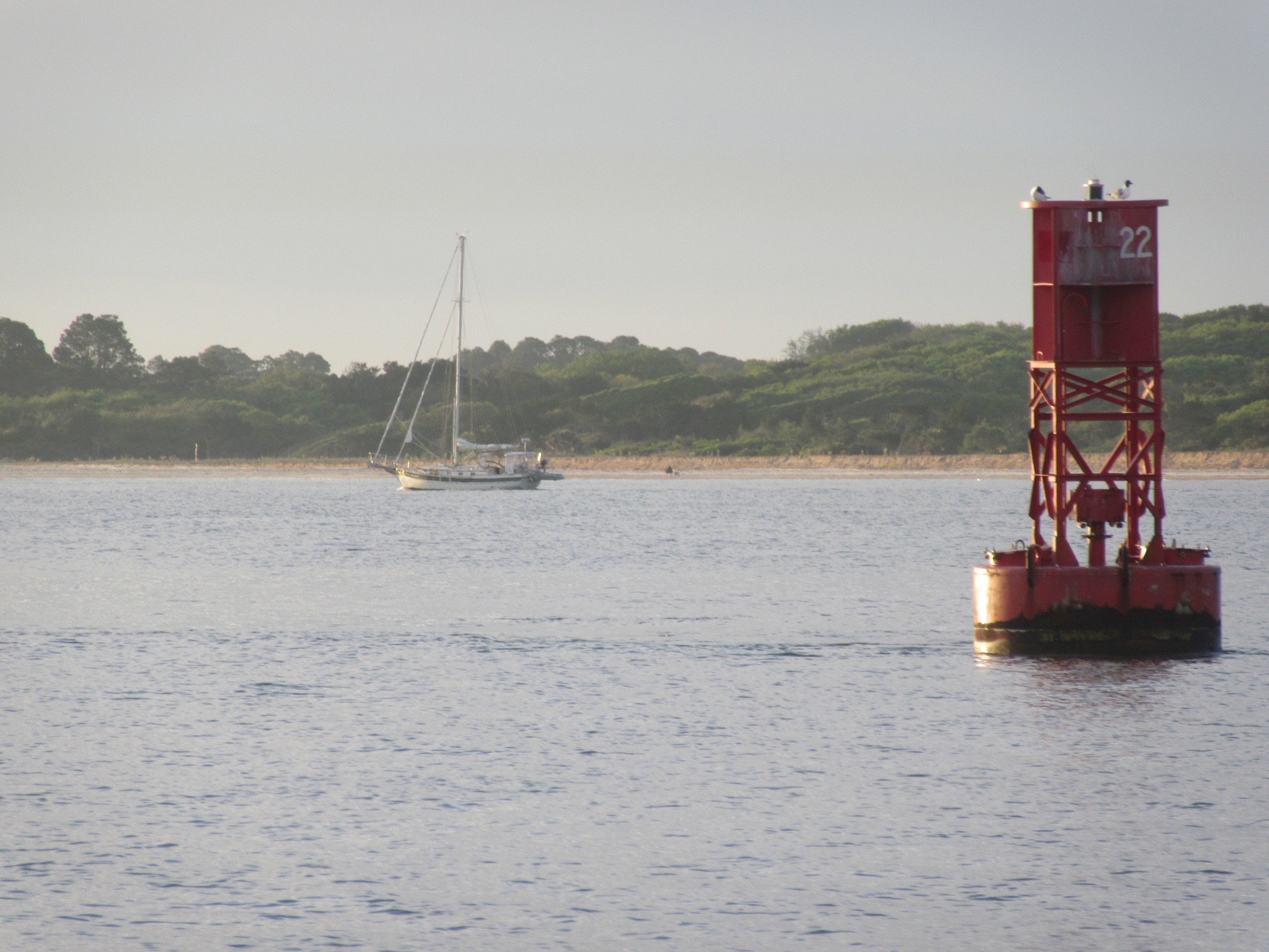
Other than the blinding sun, the conditions were ideal for exiting the inlet. The channel is fairly wide at St. Mary’s, and we easily turned northward along the “three nautical mile line” noted on our charts.
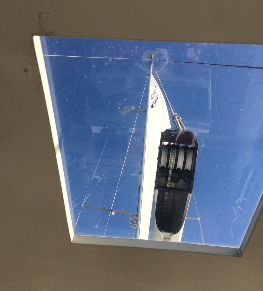
The gentle rolling waves were about 3 feet in height, about 6-8 seconds apart. The winds from the south were very light, about 5 knots, so we had to keep the engine moving to make forward progress. We used the staysail, and then the genoa, as a “riding sail” to keep the boat balanced. We even had the main sail up for awhile. It would have been wonderful to have enough wind to turn off the incessant hum of the engine, and just listen to the wind in the sails and the gurgling water. But alas, these conditions were good enough, and we were finally offshore!
And the contrast to the ICW was immediately evident. No bridges to call to request an opening. No crab pots to dodge. No motor yachts calling to state which side they would pass us on, or rudely throwing us a wake. We no longer had to check the depth sounder every few seconds, or strain our eyes to find the next day mark. For once, hitting bottom was not the fear of the day—at least not for nine consecutive hours, which was the amount of time we were sailing in the ocean on Day 169. It was extremely pleasant!

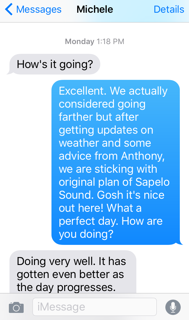
In fact, it was so pleasant that we began to consider continuing northward, past the Sapelo Sound. But that would require sailing at night, with only a crescent moon, and entering the Port Royal Inlet in the middle of the night. We consulted updated weather forecasts, and our expert buddies on S/V Magnolia. After several text messages, we decided to keep to the original sail plan. And we were glad we did. By the end of the day, we were tuckered out!
For the entire passage, S/V Royal Serf had been sailing alongside, about a half mile away. Eventually, they hailed us on the VHF, and we exchanged thoughts about intended destinations, changing colors of the water, or updated weather reports.
About thirty minutes before Sapelo Sound, we agreed to stay on Channel 17 to keep the lines of communication open between the two buddy boats. We brought our handheld VHF to the cockpit to monitor Channel 16 at the same time so we wouldn’t miss anything there. That was another big difference from the ICW—lack of constant VHF chatter!
Around 1700, we entered the Sapelo Sound, and found it to be an easy passage. From there, we chatted with Royal Serf about possible anchorages and agreed we could reach Kilkenny before sunset. That would mean another 2.5 hours of motoring, but it would get us closer to Hell Gate, which we need to cross the following morning at high tide. So the buddy boats pressed on, and at 1930, we anchored in Kilkenny, and rejoiced! Wanting to meet our new friends on Royal Serf, but both boats lacking easy dinghy access with outboard engines mounted on the rails for ocean passagemaking, we opted for a virtual happy hour.
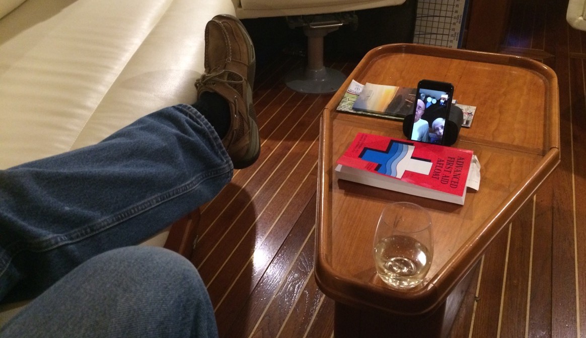
Fred and Linda decided to FaceTime us instead of phoning, so I hurriedly tried to primp my hat hair into something that would look respectable. Ha! The perils of technology today! Anyway, we had a great chat, and thanked one another for the companionship on the high seas. We exchanged contact information as well as photos and videos taken during the day’s non-eventful event.
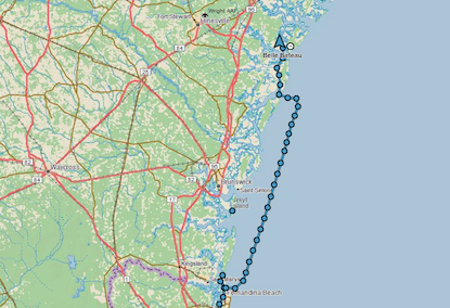
All in all, we traveled 86 nautical miles in 12.5 hours, averaging 6.9 knots/hour. That’s the equivalent of 100 statute miles on the winding ICW, which would have taken us two days rather than just one.
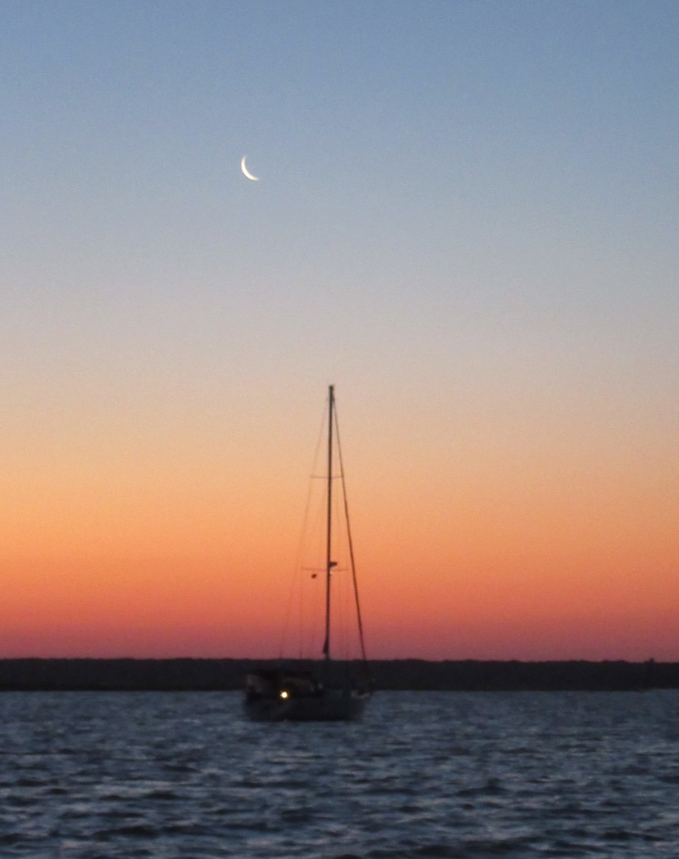
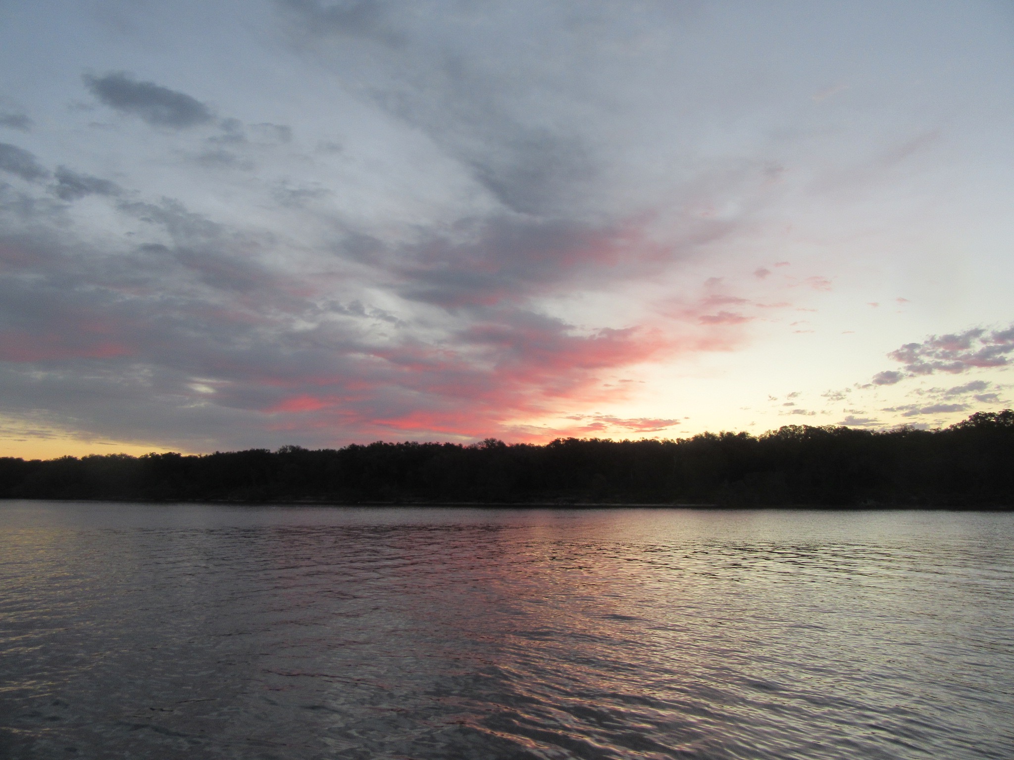
As the crescent moon punctuated a beautiful sunset, we were grateful that our first offshore passage on Belle Bateau was easy and non-eventful. And that the weather forecasts were right — at least this time!
I’m so happy to see you guys finally out on the ocean!
Yes! Finally!
What a great day you had out a sea. I’m so impressed with your in depth knowledge of sailing Cheryl, as well as your easy explanations for us to enjoy. But knowing how thorough you are, it’s really no surprise. Such an adventure your having!!
Thanks Joyce. Glad I appear to be knowledgeable but I feel like a novice. This adventure has been a true learning experience. And I learn best by doing, vs. reading, so my education continues. Nothing beats an eager student, so I’m like a sponge, soaking up the sea water! Thanks for following my blog!
Sounds like a great day out on the ocean! Have enjoyed your blog. Such beautiful pictures of water and sky at various times of day. I love the videos with the sound of the water. Glad that this has been such a good time.