No words can adequately convey how a calm day on the ocean compares to an average day on the ICW. And we’ve only had calm days on the ocean, thankfully, so I cannot speak to challenging coastal conditions. But the difference between the ocean and the ICW, on our sailbatical, has been quite striking, at least to us. I remember our friends Beth and Lynn on Coyote relating their experiences during previous cruises from the Chesapeake to points south. Beth talked about the relief of getting away from the ICW, enjoying the ocean, and then the relief of leaving the ocean and getting back to the protected waters of the ICW. I get that now!
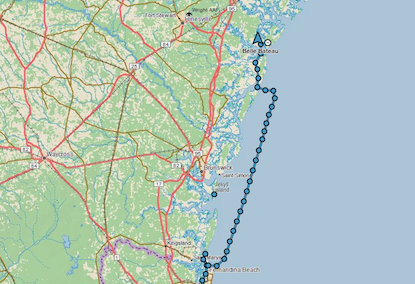
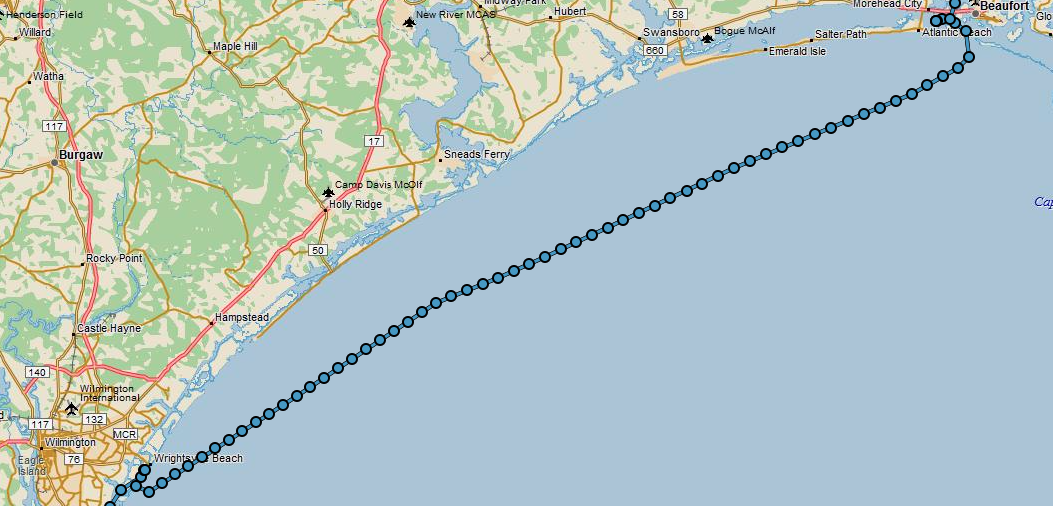
So here’s my attempt to describe our coastal passage from the Masonboro Inlet to the Beaufort Inlet on Day 190.
First, like all days, we consulted several weather forecasts to confirm that the conditions we read before bedtime the night before were still predicted. Truth be told, I think the Captain checks the weather several times during each night—does the man ever get a good night’s sleep? With the conditions still looking favorable, we gave each other a thumbs up and weighed anchor at 6:20 am, before sunrise.
We expected the winds would be light from the north, but they were expected to clock around to the southeast in the afternoon, which could result in some actual sailing. However, forecasts of wind speed and direction are quite fickle. Motoring the entire 70 nautical miles, from our Wrightsville anchorage to the intended Beaufort anchorage, was a strong possibility. So be it. I’ve certainly learned that this sailbatical is less about the sail and more about the batical. I’ve also learned a lot about patience—it is a virtue. And if I thought I was a flexible person before—ha! Flexibility is my new middle name. When I return to Baltimore, feel free to call me Gumby.
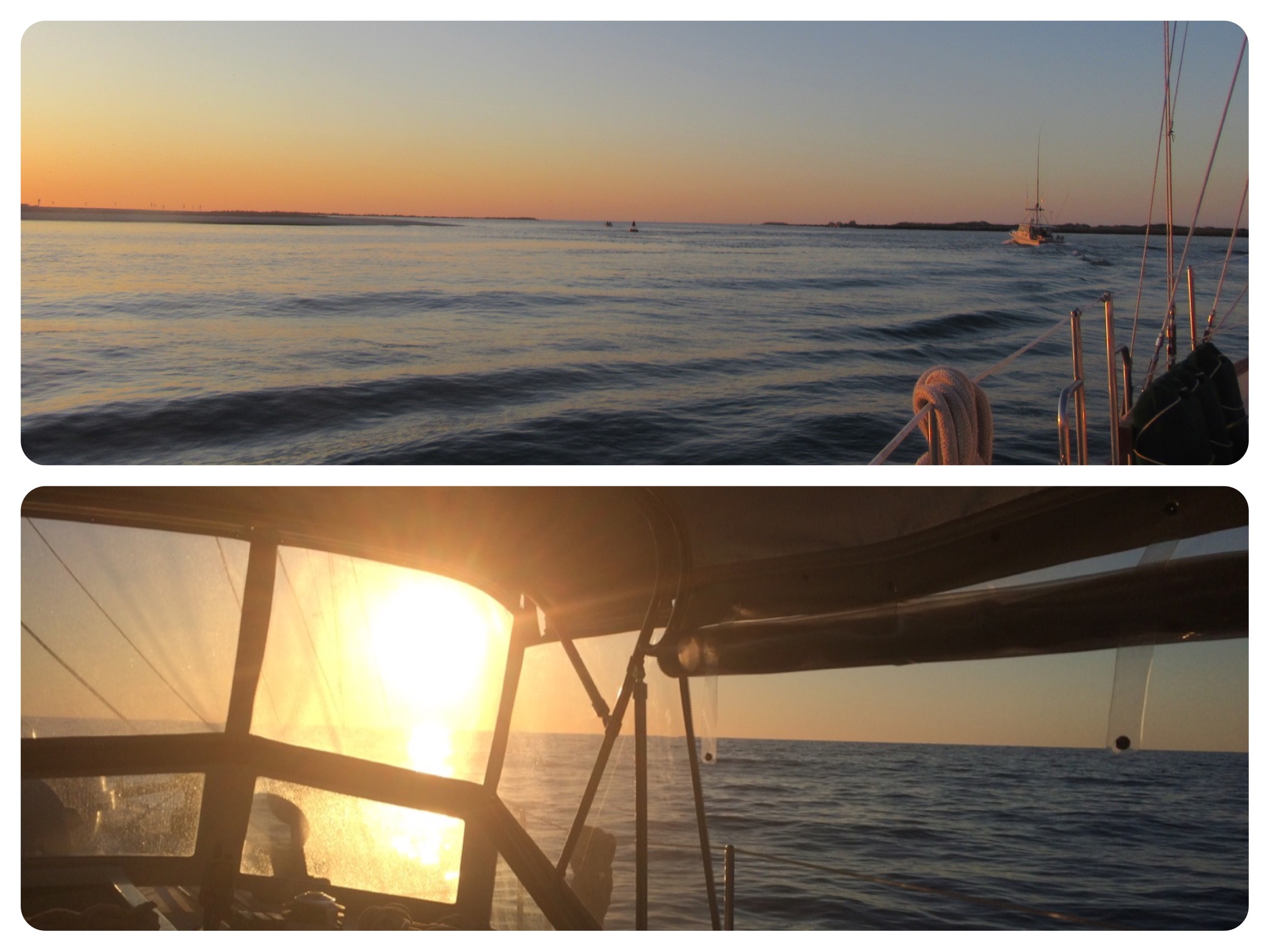
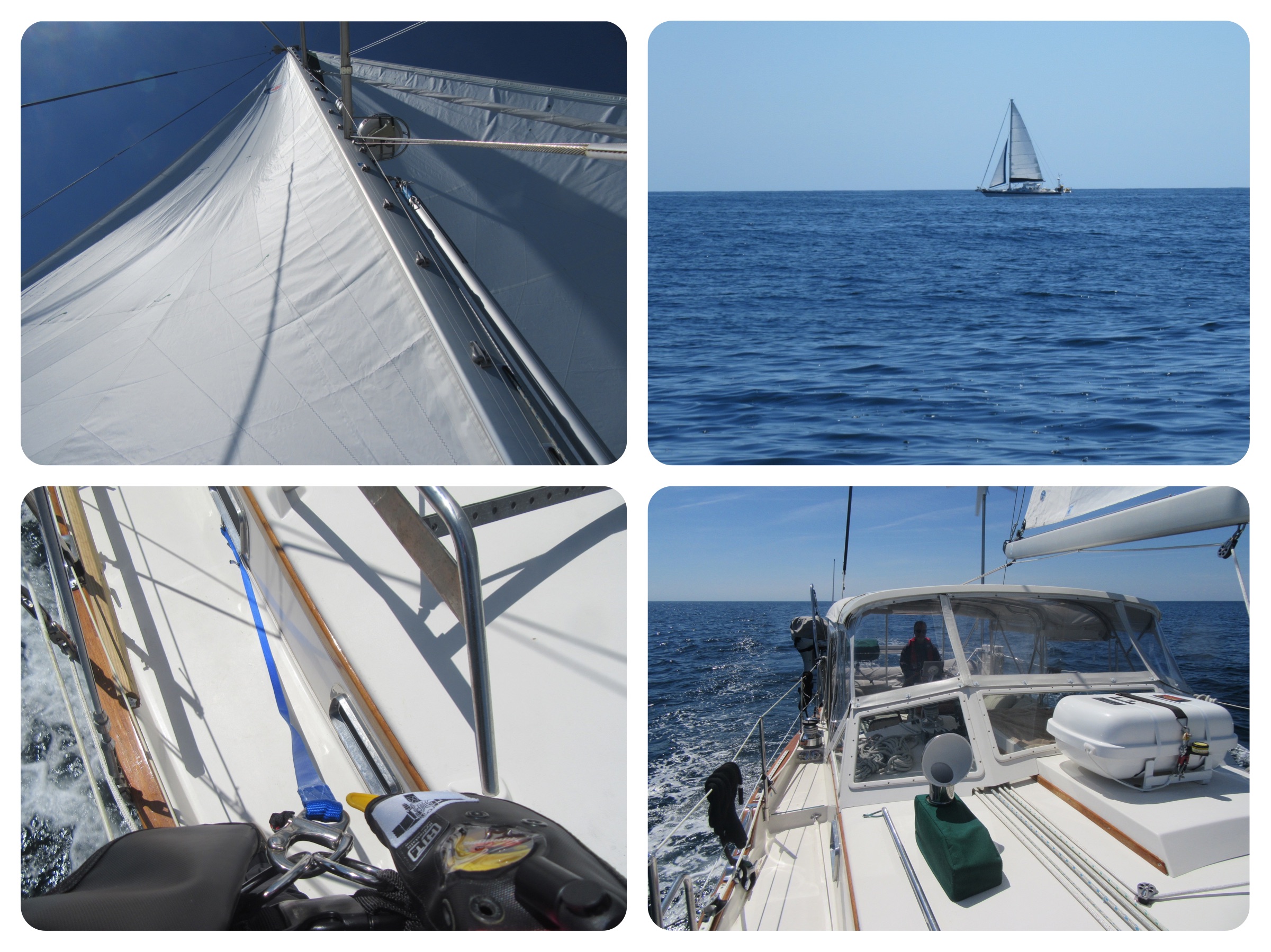
As we headed out the Masonboro Inlet, with the sun in our eyes, the inlet was a bit choppy until we turned more northward at the three nautical mile mark on the charts. The seas were still choppy with perhaps a 4 second interval between 2′ waves, but not too bad. We had expected some chop due to wind and wave direction. There’s an excellent web site that forecasts these conditions, windyty.com, so we were forewarned. As the morning wore on, the chop decreased. We also put up our mainsail as a riding sail to help keep the boat steady.
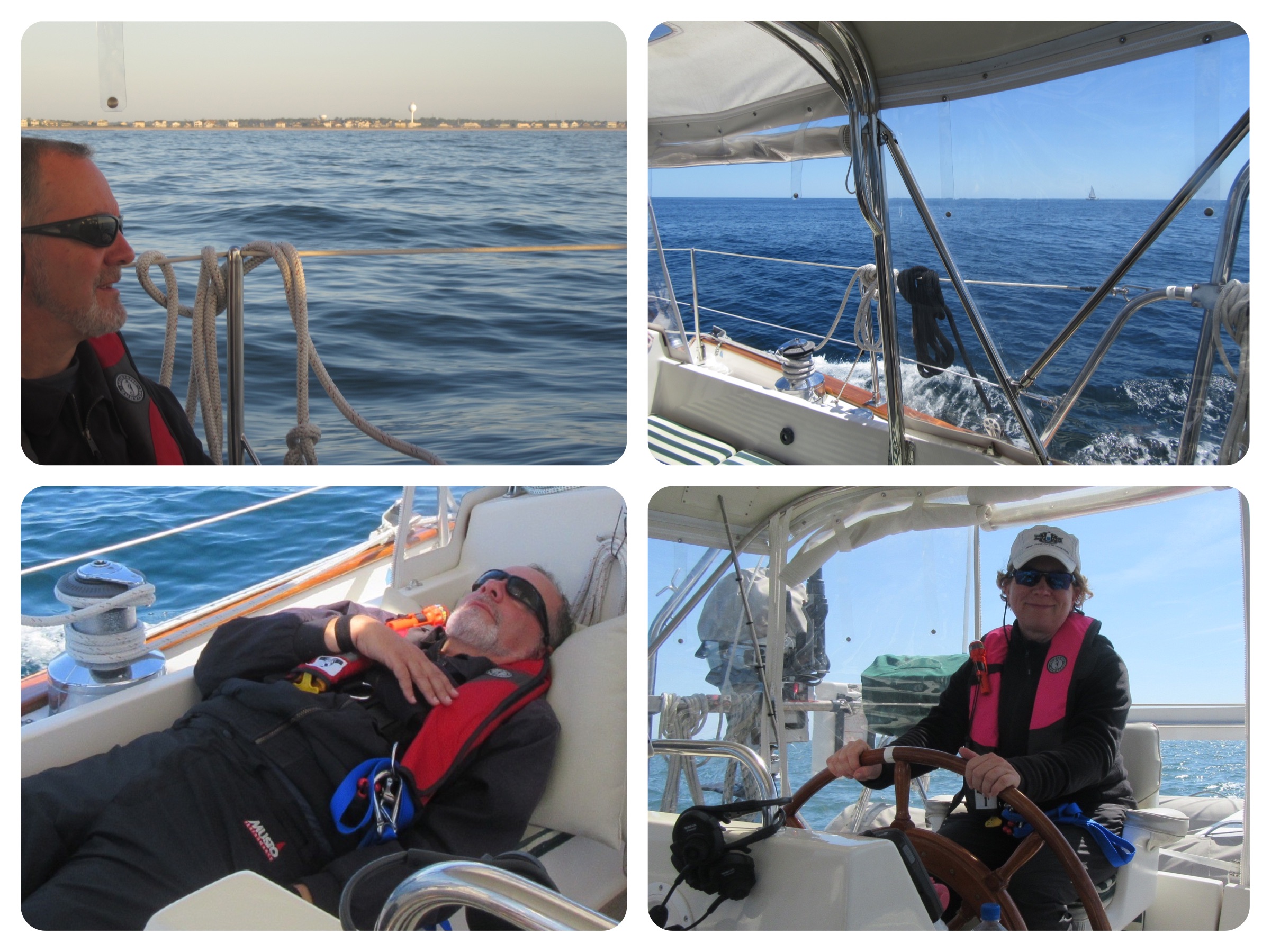
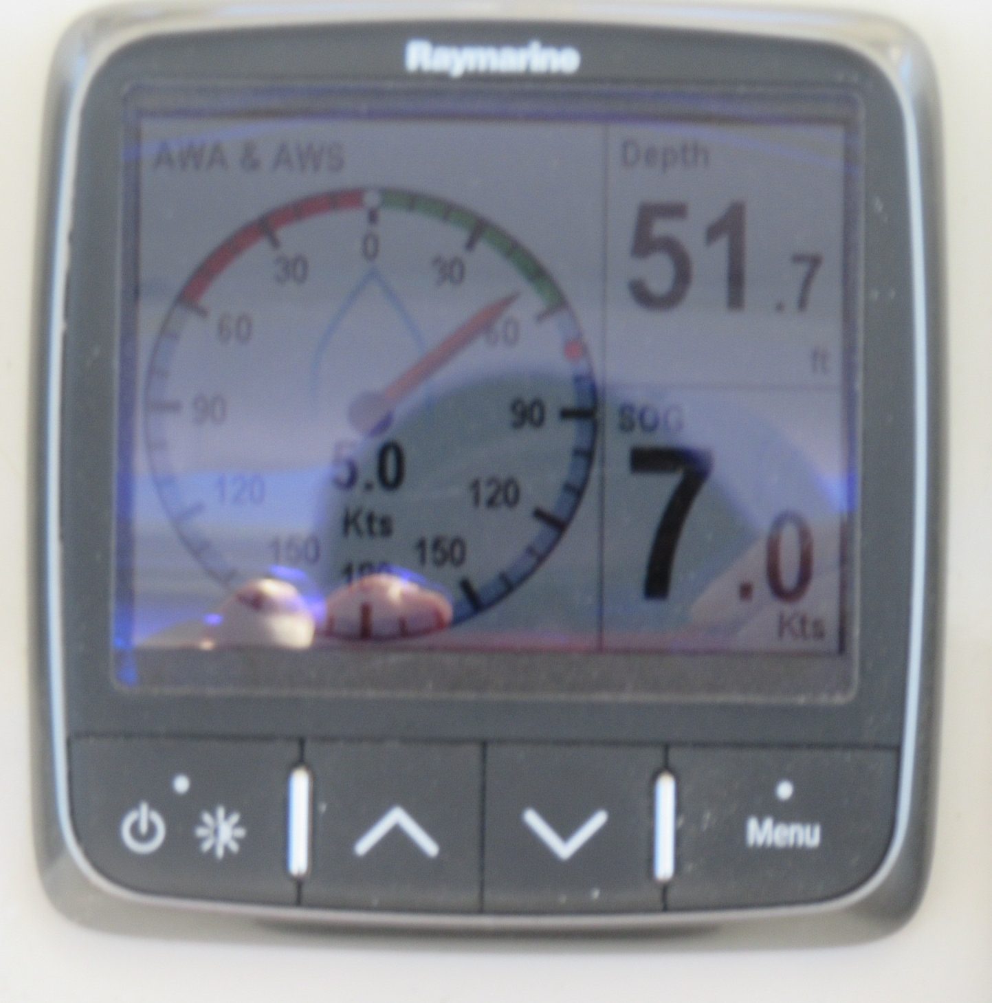
Eventually, the winds did clock a teeny tiny bit towards the south, and we put out the genoa (that big sail at our bow). We were making 7 knots of speed using both sails and the engine. Yippee! I ventured out to the foredeck to take some photos, making sure to tether myself to the jacklines. What a thrill to enjoy that ocean view for a few quiet moments at the bow!
Even with the engine humming, it was so peaceful. Swoosh, swoosh, swoosh. We had the VHF radio turned down low, and every now and then could hear chatter from the ICW, from those boaters who didn’t know, or remember, to change to a 1 watt frequency of transmission rather than the longer range 25 watts. Their chatter was a reminder of what we were missing on “the ditch.” Out in the ocean, we weren’t having to slow down to be passed by a power yacht. We didn’t have to keep our eye on the charts every second, or tap the iPad for more information in ActiveCaptain. We didn’t have to adjust our heading, or turn 10 degrees to starboard, then 5 degrees to port, then 45 degrees to starboard, then 2 degrees to port. No siree-bob! We could just set our auto-pilot on a heading and sit back. One of us even managed to take a nap. That’s peaceful!
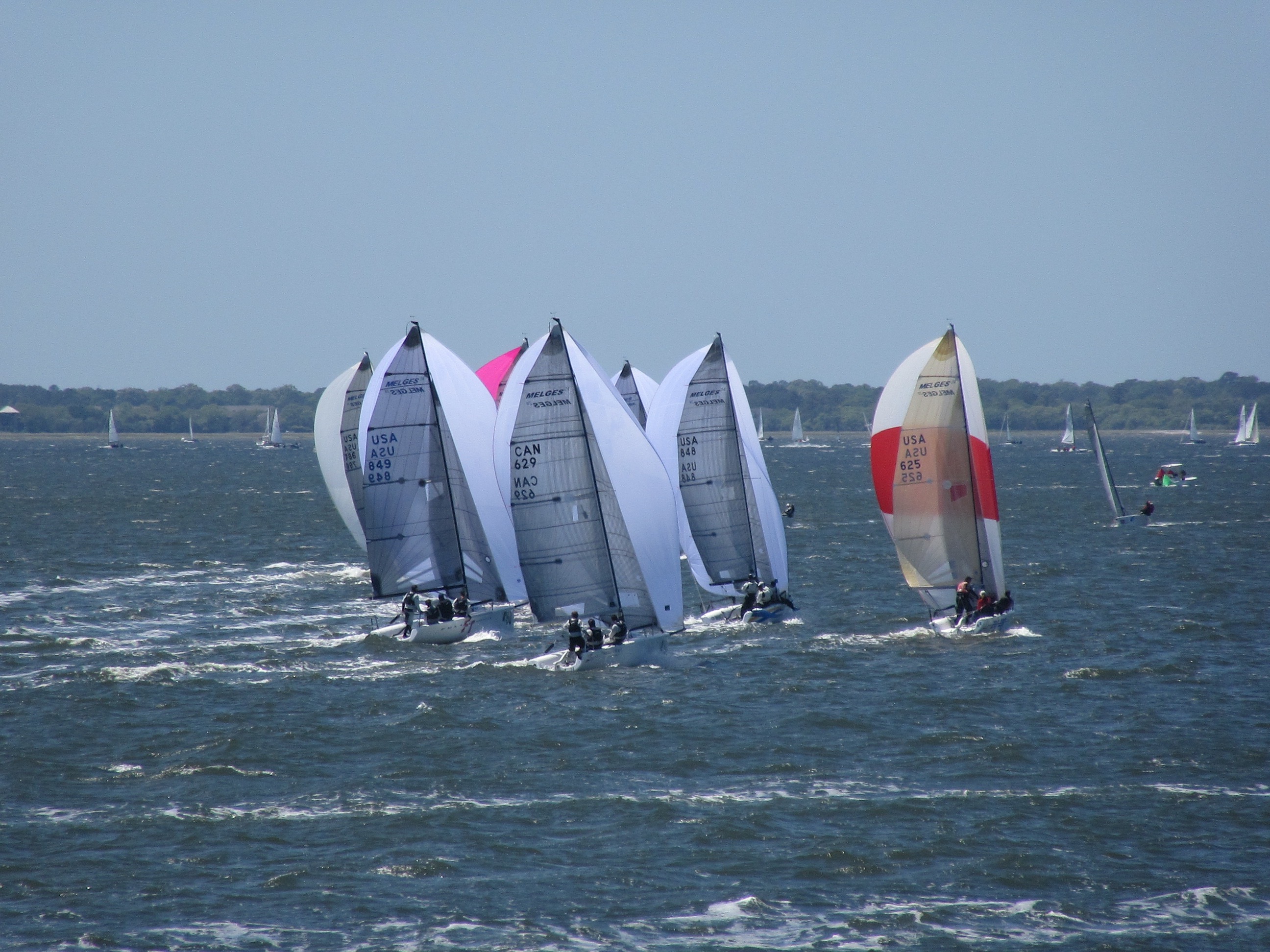
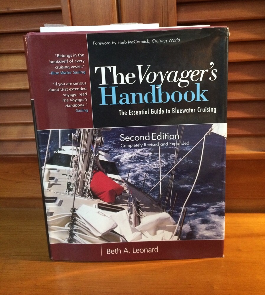
We saw a few fishing boats zip out to sea, and another sailboat paralleled us for a time. But none of these boats made us alter our course. The autopilot did its job and we took turns at the helm. I grabbed the opportunity to speed-read the first half of The Voyager’s Handbook, written by Beth Leonard. I had perused her book prior to our sailbatical, picking out a few chapters that were issues of the moment. But what a different experience it was to start at the very beginning (yes, I heard Julie Andrews singing in my head just then) and read Beth’s detailed descriptions and personal accounts of cruising strategies. She was an excellent cockpit companion for me on Day 190. I hope to finish my speed read soon, and there are a few chapters I must return to for a slower and more thorough read. I yearn for a greater understanding of electrical systems, so Chapter 9 is first on my list when I reconnect with Beth’s book.
Amazingly, we had strong internet connection on the ocean. Apparently three miles offshore, along the NC coast, AT&T can offer better cellular reception than a number of inland anchorages we’ve encountered on this trip. Go figure! So I was able to post a video to FaceBook, send/receive texts, check email, and research a few items on the web.
While I can certainly do similar tasks on the ICW, those moments are squeezed between shoaling warnings, squawking VHF chatter, minute adjustments to the autopilot every 15 seconds rather than every 15 minutes, hairy eyeballs from the Captain who may wonder if I’m paying attention at the helm, throttling down for a passing boat, etc. You get the picture.
Yes, a peaceful ocean.
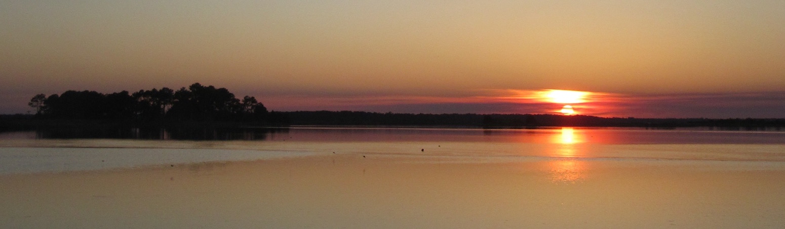
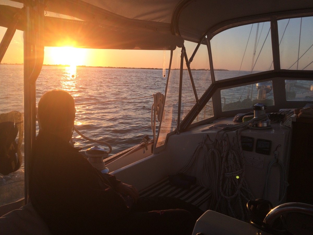
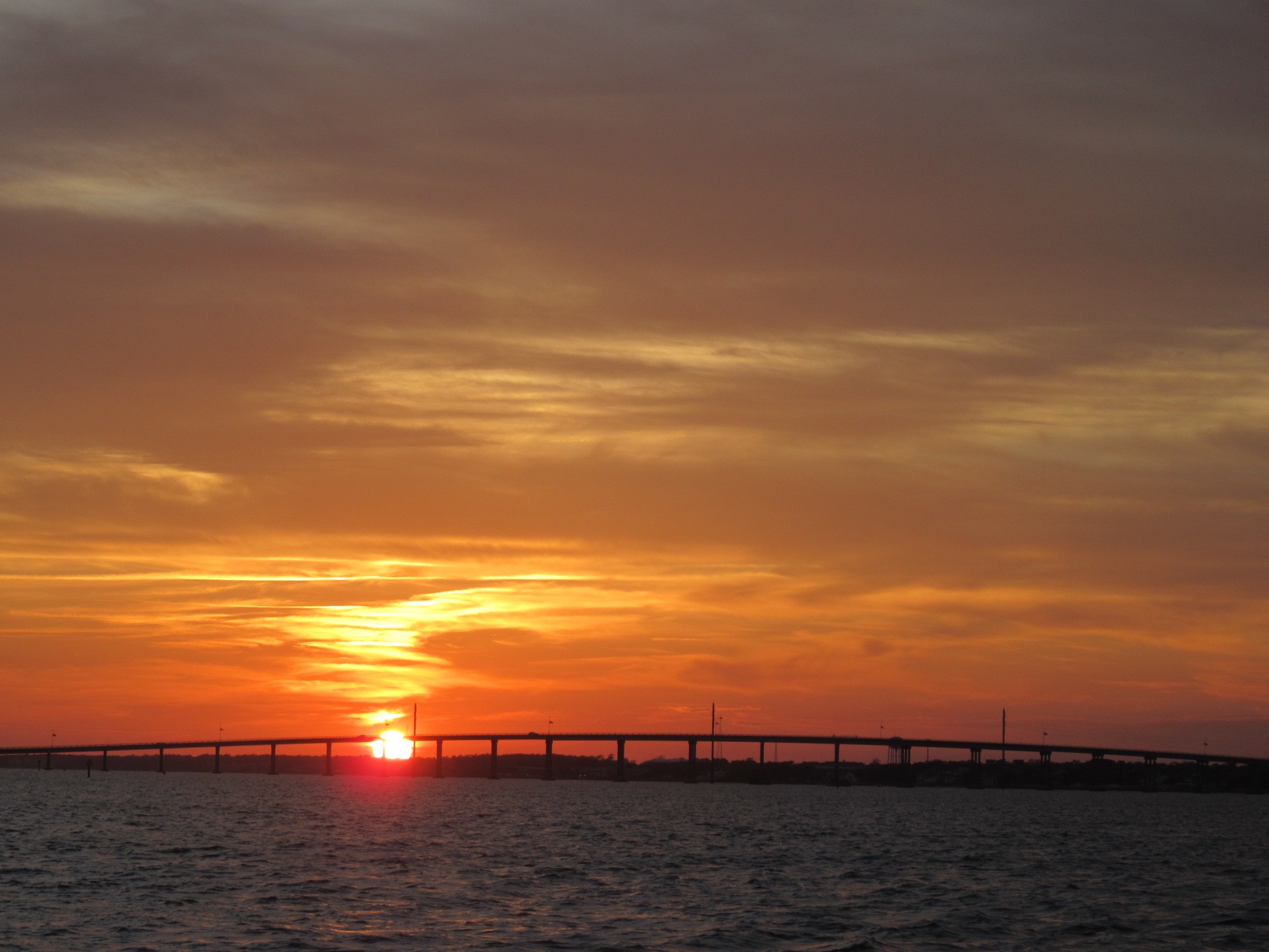
We made better time than expected, and entered the Beaufort Inlet at 5 pm, with plenty of daylight left. Love these longer days of spring—a far cry from autumn’s shorter days. We didn’t have to go far before finding a decent anchorage near Beaufort/Moorhead City, just off the ICW. As we prepared dinner, the sun was setting over the Atlantic Beach Bridge.
We may not have been able to turn off the engine, but it was a good day. Ahhhhh. Peaceful anchorage after a peaceful ocean.