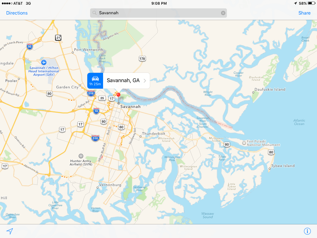
After days of not having to live and breathe by tides and winds, we prepared ourselves for leaving the snug slip on Hilton Head Island to continue south into Georgia, while being mindful that tides are 8-10 feet in these parts. And since we had visited Savannah by car over the weekend, we decided to save that water adventure for another year. The decision to bypass Savannah made the Captain glad but me sad, since I really wanted to see Savannah from the water. But I understood, and agreed.
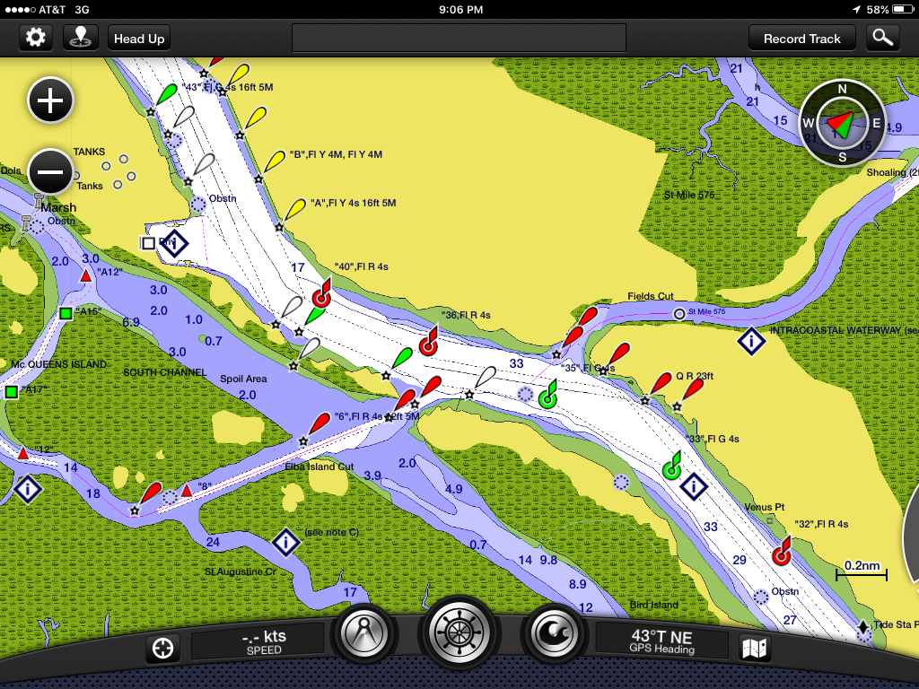
Before setting off, we reviewed the charts that described the day’s “trouble spot,” aka shoaling, also referred to as skinny water. Again, we calculated the best time to leave our slip in order to pass on a rising tide. And, like so many times before, we had plenty of water under our keel. Honestly, the moral of the ICW story is to pay attention to tides, consult recent reports by other sailors (ala ActiveCaptain), and follow the buoys/markers. In other words, practice good seamanship and the ICW is not the monster many claim it to be.
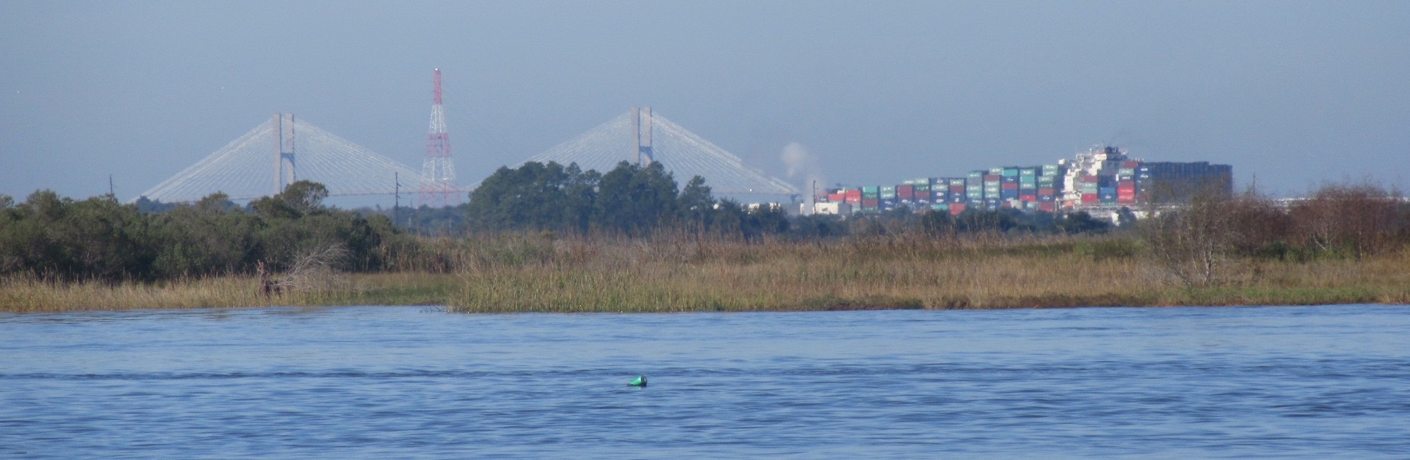
That includes anticipating what’s ahead and what’s around the corner. Now that may sound like a “duh” but Day 42’s trouble spot was less about skinny water and more about crossing the busy and narrow Savannah River. Lots of big huge gigantic ships (did I mention these ships are very large?) enter the mouth of the river from the Atlantic Ocean and chart their course for the shipping ports just past the historic district of Savannah.
Being from the Chesapeake Bay area, we are no strangers to shipping channels and large freighters. But the Savannah River is much narrower than even the Patapsco River that leads to Baltimore’s Inner Harbor. In fact, the entire width of the Savannah River that we had to cross appeared to be narrower than Baltimore’s shipping channel alone. There is truly no room to share the lane with a big ship, especially when approaching from a perpendicular course.
The ICW crosses this narrow river, and, unlike a highway, there is no merge lane. We had studied the charts and knew that once we exited the ICW, we would be in the shipping lane until we crossed to the other side. Picture a turtle crossing a busy highway. Makes you wince? Yep, that’s the mental picture of this trouble spot.
For us coming southbound, that crossing would occur shortly after negotiating the skinny water in Field’s Cut, the rumored trouble spot. So once our attentions were diverted from the depth sounder, we focused on what was ahead in the river, beyond the marshes. Dudley had noted a large cargo ship going northbound, that had already passed our ICW exit, so no worries. And we easily saw another freighter headed southbound that would pass before we would exit. No problem.
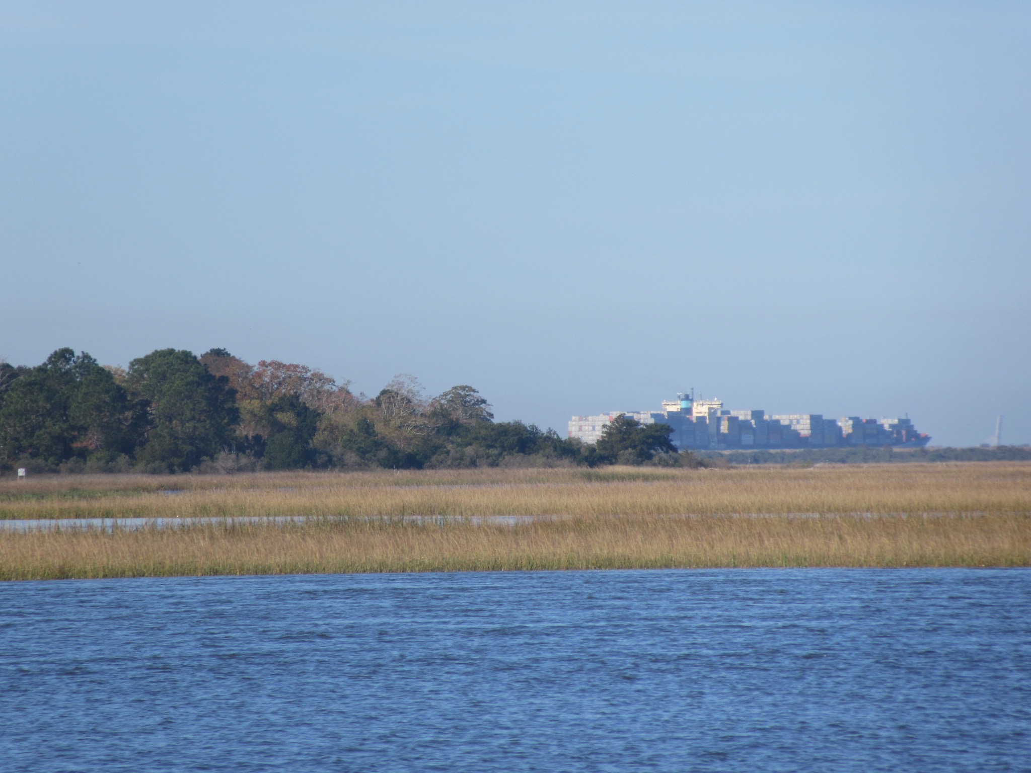
As I continued to scan the horizon, I noted what appeared to be a cityscape in the distance, and my mind tried to search its memory banks for what tall buildings occupied that stretch from Savannah to Tybee Island, an area I traveled a few times while Philippe attended SCAD. Coming up blank, I grabbed the binoculars, but the buildings were greyed out. Too far. And then I looked again. Those buildings appeared to be moving very slowly. Yep. It was a cargo ship, coming northbound up the river. Wow, everything looks so different from the water! By the time I could point it out to the Captain, it had disappeared behind a clump of trees.
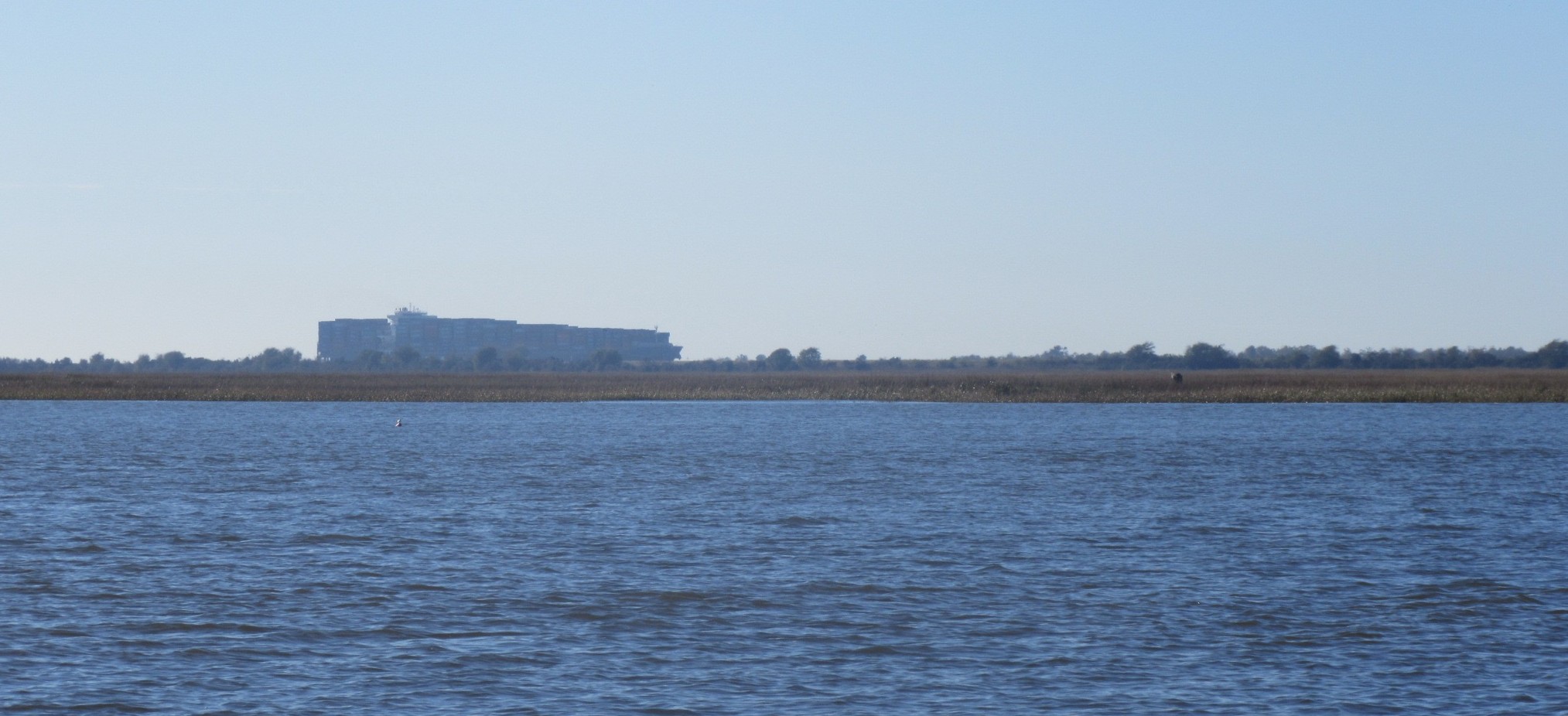
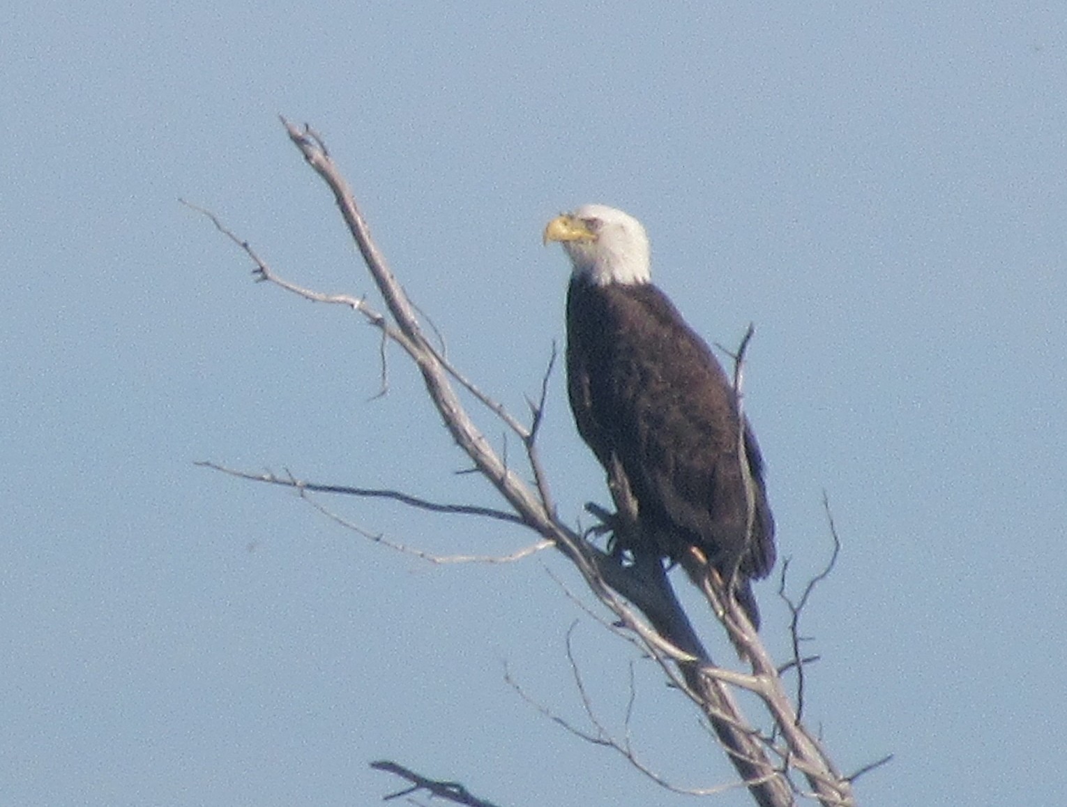
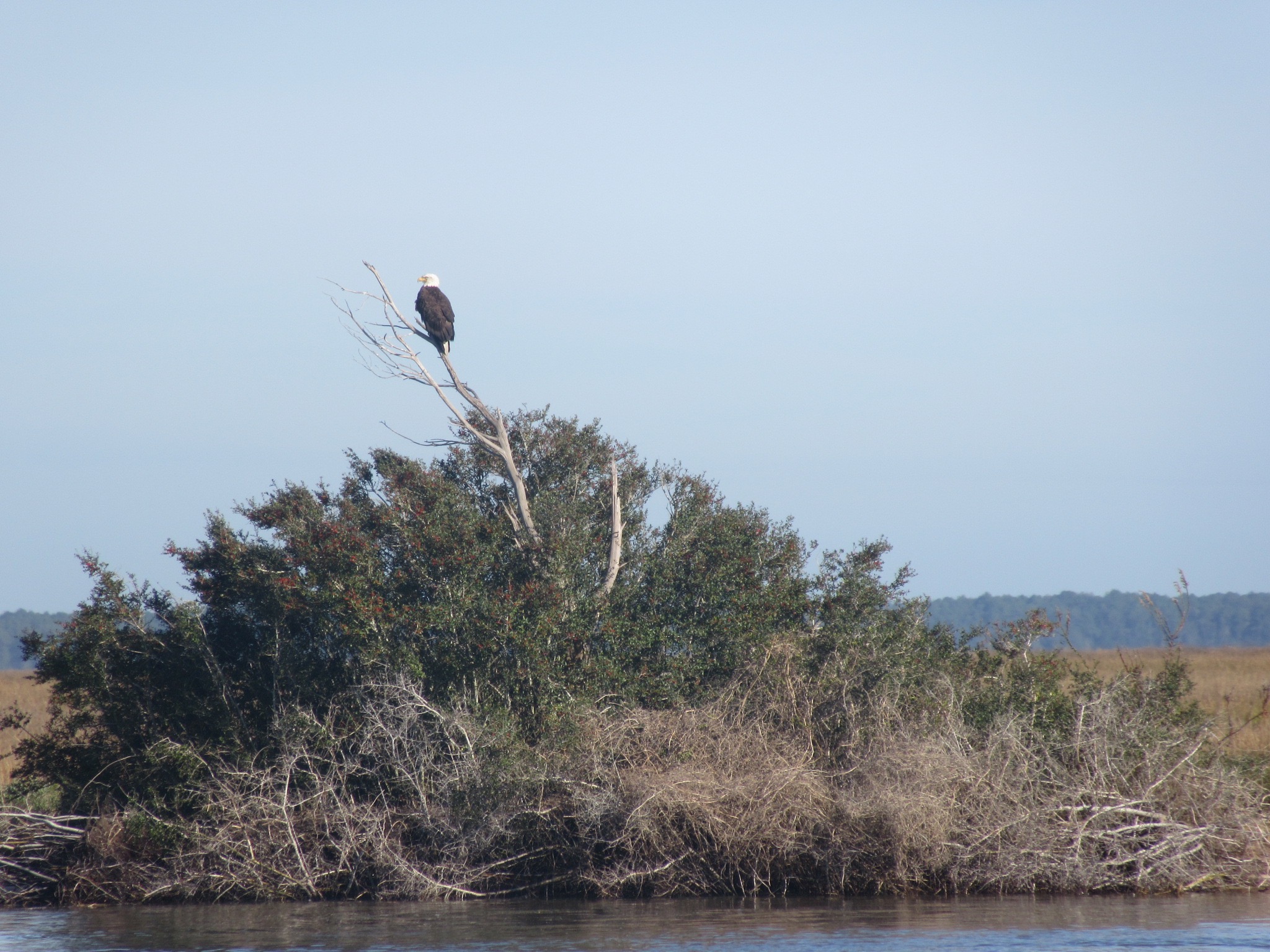
Dudley was able to zoom out on our chart plotter to see if AIS picked it up, and there it was. It wasn’t moving very fast, but enough for the him to suggest it would be safest if we did circles in the narrow ICW until we knew that the freighter was certainly beyond our exit point. So we did circles for a few minutes, and I took the opportunity to photograph a bald eagle I had spotted earlier. Not a bad spot to do a few laps!
We watched the northbound ship pass the southbound freighter, and then pass our ICW exit ramp.
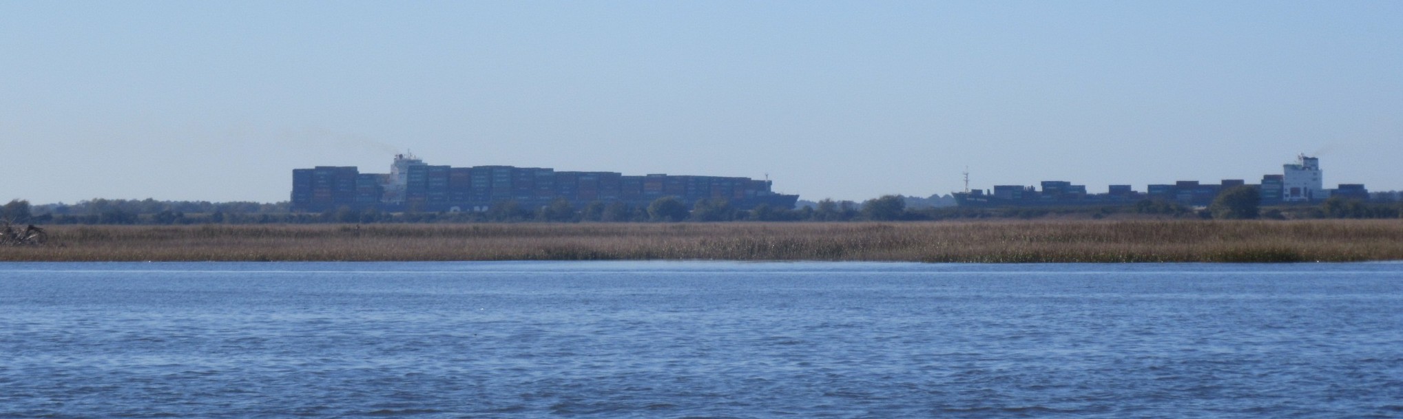
Then we hightailed it across the Savannah River. As we did, I marveled that two big ships can actually pass in this very narrow channel. And I was actually glad that we had decided not to travel by boat into Savannah this time. I finally understand why so many sailors decide to leave their boats south of the city and catch a ride into town.
That still doesn’t change my desire to arrive Savannah by the sea someday. Because, like cargo ships, everything looks different from the water.
[…] River. You may recall our fall crossing, dodging large cargo ships as we crossed the narrow river (http://sailingbelle.hocomojo.org/2015/12/01/everything-looks-different-from-the-water-day-42/). Coming north, we were on high alert as we approached this busy shipping channel, and could see […]